
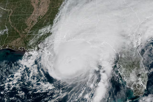
Severe weather from the inland trek of Hurricane Isaias has plunged portions of East Point into darkness, complicating a statewide crisis that has left more than 122,000 customers without electricity across Georgia.
Localized gusts reaching up to 66 miles per hour have downed tree limbs and compromised multiple power circuits across East Point, leaving hundreds of local residents in the dark.
Fulton County emergency officials have gone on high alert as a Flood Watch remains in effect through Sunday morning, with meteorologists warning of heavy rainfall up to 8 inches and potential tornado risks.
Localized Damage Knocks Out Power
The East Point Power Department deployed emergency repair crews early Saturday morning to tackle widespread, scattered circuit outages.
Information shared by the City of East Point early this morning indicates multiple outages in East Point: Neely Ave, Broad Ave, W. Forrest Ave, Hillcrest Dr, E Point St, Church St, W Taylor Ave, Spring Ave, Wood Hill Ln, Lester St, Dorsey Ave, Dewey Ave, Dodson Dr, Lumpkin St, Headland Dr, Grove Ave and surrounding areas.
The city did not set a timetable for restoration of services but apologized to the community for any inconvenience resulting from the outages, while thanking the community for its patience.
Current Status & Tracking
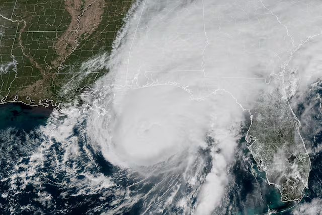
Early Saturday morning, the National Hurricane Center downgraded Isaias to a post-tropical cyclone as it moved inland.
Classification: Post-Tropical Cyclone
Wind Speeds: Maximum sustained winds have dropped dramatically to 35 mph (down from its peak landfall intensity of 105 mph as a Category 2 hurricane).
Movement: The storm center is currently moving north across Alabama and Georgia at roughly 14 mph and is projected to enter the Tennessee Valley. It is expected to completely dissipate by Sunday.
Remaining Threats
Even though Isaias has lost its hurricane status, emergency officials warn that it still poses significant dangers to Georgia and the broader Southeast:
Heavy Rainfall & Flooding: The storm is still packing torrential moisture, with up to 8 to 15 inches of localized rainfall expected across southwest Georgia, Alabama, and the Florida Panhandle.
Tornado Risk: A risk for brief, isolated spin-off tornadoes persists through Saturday afternoon across parts of Georgia and the Carolinas.
Wind Gusts: Although sustained winds are low, localized wind advisories remain in place with potential gusts up to 50 mph, which could down additional trees and power lines
Check This Out...
-
Happening Tonight: East Point City Council Meeting
-
City Of East Point To Host Dog Party Sunday, October 25: City Themes Event As “Howl-O-Ween Pawty”
-
75 Year Old East Point Grandmother Who Was Shot While Passing Out Food Tells WSB-TV She Can’t Walk, Was In Rehab For Months; Yearns To Pass Out Food Again: “I Miss It Every Time I’m Supposed To Go Out”
-
East Point Water Department Wins Georgia Water Association Award (GAWP) For Third Consecutive Year
-
Early In-Person Voting Begins Today October 13